You can find out whether any property sits in a flood zone in a few minutes, for free, using FEMA’s own maps. Here is how to check, what the zone codes mean, and why it matters before you buy or build.
What a flood zone actually is
A flood zone is a label FEMA assigns to land based on how likely it is to flood. Those labels live on official maps called Flood Insurance Rate Maps, or FIRMs. Lenders, insurers, and local building departments all rely on them.
The key dividing line is the Special Flood Hazard Area, or SFHA. An SFHA is land with at least a 1 percent chance of flooding in any given year. That is often called the 100-year floodplain, which is a confusing name, because it does not mean a flood happens once a century. A 1 percent annual chance works out to about a 1 in 4 chance of flooding over the life of a 30-year mortgage. If a property is in an SFHA and carries a federally backed mortgage, flood insurance is mandatory.
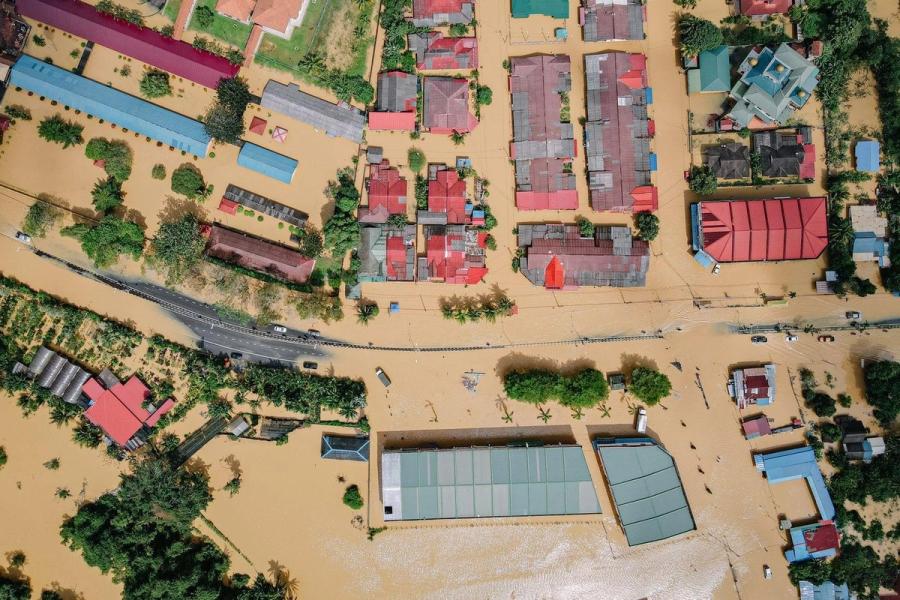
Everything else falls outside the SFHA, in moderate or minimal risk areas. FEMA is blunt about one thing: there is no such thing as a no-risk zone. More than 20 percent of all flood insurance claims come from properties outside the high-risk zones.

The flood zone codes, decoded
Every property in a mapped community gets a code. They look cryptic, but each one tells you something specific.
- Zones A and AE: High risk, inland. A 1 percent annual chance of flooding. AE is the most common high-risk code, and it comes with a Base Flood Elevation, the height floodwater is expected to reach. Plain Zone A has no detailed elevation set.
- Zones AH and AO: High risk, but shallow flooding. AH is ponding, usually 1 to 3 feet deep. AO is sheet flow, water running across the surface.
- Zones V and VE: Coastal high hazard. These face wave action on top of rising water, so they carry the strictest building rules and the highest insurance premiums.
- Zone X, shaded: Moderate risk. This is the 0.2 percent annual chance area, sometimes called the 500-year floodplain. Insurance is not federally required here, but flooding still happens.
- Zone X, unshaded: Minimal risk, outside any mapped hazard area.
- Zone D: Risk is possible but undetermined, because FEMA has not studied the area in detail.
A simple way to remember it: anything starting with A or V is high risk and triggers the insurance mandate. X is lower risk. D means unstudied, not safe.
How to check your property’s flood zone
You do not need to pay anyone to find out. Here is the process.
- Go to the FEMA Flood Map Service Center. The official free tool is at msc.fema.gov. Type in the full property address and it returns the current Flood Insurance Rate Map for that location.
- Read the zone and the map details. Look for the zone code, the map panel number, and the effective date of the study. For high-risk zones, note the Base Flood Elevation assigned to the area.
- Generate a FIRMette if you want a printable record. This is a savable section of the official map centered on the property, useful for lenders or your own files.
- Cross-check with the county. Most county GIS or planning sites also show flood data, often with extra local context, and sometimes they reflect pending map changes before FEMA’s central system does.
- Confirm before closing. The map shows the area. For a legally binding determination, a lender will order a flood determination, and an Elevation Certificate from a surveyor pins down exactly how your structure sits relative to the Base Flood Elevation.
What being in a flood zone means for you
Finding a property in a flood zone is not a reason to walk away on its own. It is a reason to understand the costs and rules that come with it.
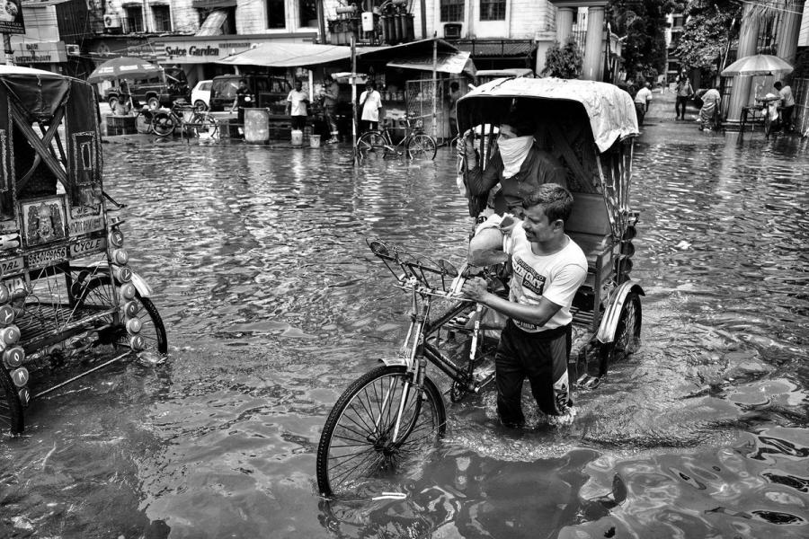
Insurance. A standard homeowners policy does not cover flood damage. That surprises a lot of buyers. Flood coverage is separate, usually through the National Flood Insurance Program or a private insurer. In a high-risk zone with a federally backed mortgage, it is required, not optional.
Pricing. FEMA now prices flood insurance under a system called Risk Rating 2.0. Instead of pricing on the zone alone, it factors in each property’s elevation, distance to water, the type of flooding it faces, and the cost to rebuild. Two homes in the same zone, even on the same street, can pay very different premiums.
Building. In high-risk zones, new construction and major remodels have to meet floodplain rules, often including building above the Base Flood Elevation. In coastal V zones, the requirements get stricter still.
Resale. A flood zone designation follows the property. It affects future buyers’ insurance costs and can affect how quickly a home sells, so it is part of the long-term math, not just today’s decision.
Worth knowing
More than 20 percent of flood insurance claims come from outside the high-risk zones. "Not required" is not the same as "not needed."
What if you think the map is wrong
Flood maps are not permanent, and they are not always right for a specific parcel. FEMA updates them as rivers shift, development changes drainage, and new survey data comes in. A property can move from Zone X into a high-risk zone, or the other way, when a map is revised.
If you believe your property is mapped into a high-risk zone by mistake, for example the building sits on naturally high ground, you can ask FEMA to correct it through a Letter of Map Amendment. That request relies on an Elevation Certificate from a licensed surveyor showing the ground is above the Base Flood Elevation. A successful amendment can remove the mandatory insurance requirement.
The gap a flood map does not show you
A flood zone tells you how FEMA rates the broad area. It does not tell you the full picture for your specific lot.
Flood risk is only one of several things that decide whether a piece of land is worth building on, and they all interact. Zoning controls what you are allowed to build. Setbacks control where on the lot you can build it. Utilities decide what it costs to connect. And flood risk can shrink the usable area or drive up the cost of building safely. Checking each one separately, on different government sites, is slow and easy to get wrong.
That is the gap Civil Intelligence was built to close. Instead of pulling the flood map, the zoning code, the setbacks, and the utility picture one at a time, you enter an address and get a single feasibility read that pulls them together, so you can see what is realistic to build and what it will cost.
It pairs naturally with two other checks worth doing on any parcel: confirming how to check the zoning of a property, and understanding what you can actually build on the land.
See flood risk, zoning, and buildable area in one place
Run a feasibility check on your property and get a clear read on what is realistic to build, with flood risk factored in from the start.
Run a feasibility check →
Frequently Asked Questions
Formatted for Google AI overviews, plain question, direct answer.
How do I find out if my property is in a flood zone?
Go to FEMA’s Flood Map Service Center at msc.fema.gov and enter the property address. It shows the current flood zone code, the map panel, and the effective date. Your county GIS or planning site usually shows flood data too. It is free and takes a few minutes.
What does it mean if my property is in a flood zone?
If it is in a high-risk zone, one starting with A or V, the property has at least a 1 percent annual chance of flooding, and flood insurance is required if you have a federally backed mortgage. New building also has to follow floodplain rules. Lower-risk zones do not carry the federal mandate, but flooding is still possible.
Is flood insurance required in a flood zone?
Flood insurance is required in a Special Flood Hazard Area, the high-risk A and V zones, if the property has a mortgage from a federally regulated or insured lender. In moderate or low-risk zones it is optional, though lenders can still require it and it is often a good idea.
What is the difference between Zone AE and Zone X?
Zone AE is high risk, with a 1 percent annual chance of flooding and a defined Base Flood Elevation, so insurance is mandatory with a federal mortgage. Zone X is moderate or minimal risk, outside the high-risk area, where insurance is not federally required.
Does homeowners insurance cover flood damage?
No. A standard homeowners policy does not cover damage from flooding. Flood coverage is a separate policy, through the National Flood Insurance Program or a private insurer, and you have to buy it specifically.
Can a property’s flood zone change?
Yes. FEMA updates flood maps over time as conditions and data change, so a property can move into or out of a high-risk zone. If you think your parcel is mapped incorrectly, you can request a Letter of Map Amendment with an Elevation Certificate to have it reviewed.
A flood zone is a starting point, not the whole answer. Civil Intelligence turns a property address into a clear read on flood risk, zoning, and what you can realistically build, so you can plan with facts instead of guesswork.