INSIGHT
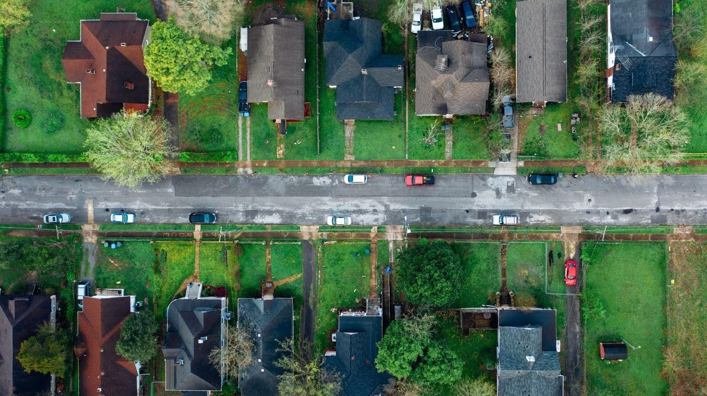
Aerial view of a residential neighbourhood — the kind of lots you need to vet before buying
Most people find out what their land is zoned for after they buy it. Here is how to find out before you spend a dollar — in the next Sixty minutes, for free.
Zoning is the rulebook for a piece of land. It tells you what you are allowed to build on it, how tall, how close to the property lines, and how many units. Get it wrong and you can buy a lot expecting to put up a duplex and find out the rules only allow a single-family home. That mistake happens every day.
The good news: checking the zoning of any property in the US is free and takes about sixty minutes once you know where to look. This guide walks you through every step.
Step 1 — Find the County the Property Is In
Zoning is controlled at the county or city level, not by the state or federal government. So the first thing you need is the exact county. If you already know it, skip ahead. If not, search the address in Google Maps — the county name appears under the city.
Keep it handy. Every step after this one starts with the county name.
Step 2 — Find the County Assessor's Parcel Search
The county assessor is the office that tracks every parcel of land for tax purposes. Most counties have a free online search tool where you can look up any property by address. Go to Google and search:
[County name] assessor parcel search
The first or second result is almost always the official .gov page. Look for buttons labelled "Parcel Search," "Property Search," or "Online Assessor Search." Click through and accept any disclaimer if prompted.

Every US county has an online parcel search — it's the fastest free lookup available
Two ways to search:
The address is the easiest starting point. Type in the street number and name without any unit number and hit search.
The parcel number (APN — Assessor Parcel Number) is the most accurate method. Every piece of land in the US has one. Zillow and Realtor.com listings almost always show it in the property details. If you cannot find it, the address search will return it for you.
Step 3 — Read the Zoning Code in the Parcel Record
Once you pull up the parcel record, look for a field labelled Zoning, Zoning Code, Land Use, or Land Use Code. It will show something like R-1, R-2, R-3, A-1, C-1, or a local variation of those.
Write down exactly what it says, including any numbers or letters after the dash. If the field is blank, that is normal in some counties — skip to Step 5.
Step 4 — Understand What the Zoning Code Means
Zoning codes are not universal — every county writes its own — but residential codes follow a consistent pattern across most of the US.
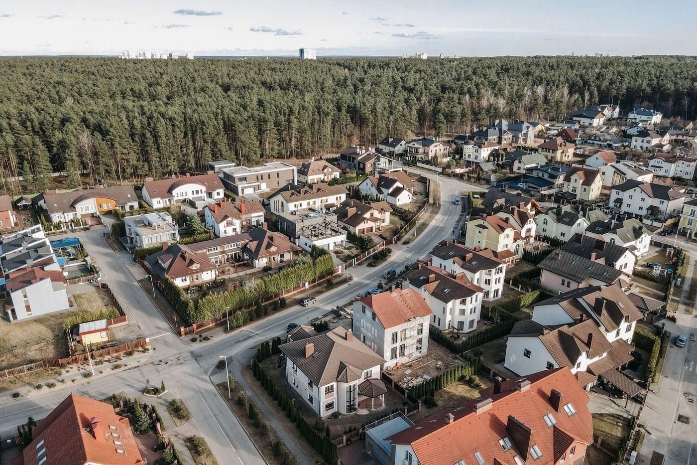
The same R-1 designation covers most American suburbs — but the specific rules vary by county
R-1 — Single-Family Residential
One home per lot. No duplexes, no apartments. This is the most restrictive residential classification and covers the majority of US suburbs. In most R-1 zones you can also add an ADU (accessory dwelling unit like a garage apartment or backyard cottage), but rules on that vary by state and city.
Typical R-1 rules: front setback 20 ft · side setbacks 5 ft each · rear setback 15–20 ft · max height 35 ft. Those setbacks eat into your buildable area more than most people expect. On a 50-foot-wide lot, the two side setbacks alone leave you only 40 feet of usable width.
R-2 — Two-Family Residential (Duplex)
Two units per lot. You can build a duplex or convert a home into two legal units. R-2 zones are common in older urban neighbourhoods and anywhere cities are gently increasing density.
R-3 — Multi-Family Residential
Three or more units — apartments, townhome clusters, small multi-family buildings. The higher the number, the more density is typically allowed per acre.
Other codes to know:
A-1 / AG Agricultural — usually large lots, often with subdivision restrictions.
C-1 / C-2 Commercial — retail, office, sometimes mixed-use with residential.
MU / PUD Mixed-Use or Planned Unit Development — blended zones allowing both residential and commercial.
Important: zoning codes are local. R-4 in one city means something different than R-4 in another. Always verify by reading the actual ordinance for your county (see Step 5).
Step 5 — Look Up the Full Rules for Your Zone
Knowing the code is the start. The details — setbacks, height limits, lot coverage, minimum lot sizes — live in the zoning ordinance, the legal document that actually governs your land.
Most counties publish their zoning ordinance online. Search:
[City or county name] zoning ordinance
Two sites that host thousands of local zoning codes: Municode.com and Generalcode.com. In the ordinance, find the section for your zone and look for a table labelled Dimensional Requirements or Development Standards. That table will list:
Minimum lot size
Front, side, and rear setbacks
Maximum building height
Maximum lot coverage (the % of the lot a building can cover)
Floor Area Ratio (FAR) — limits total building square footage
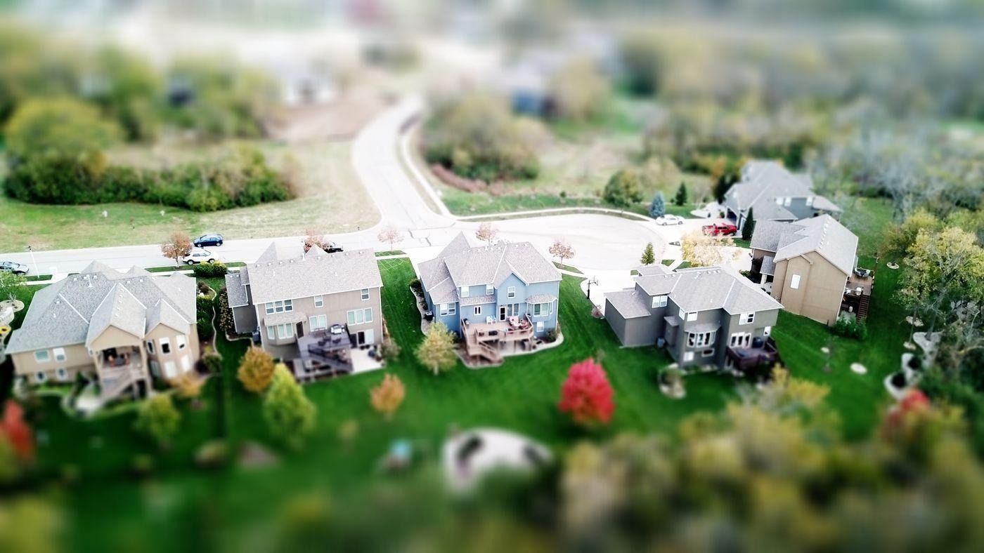
These rooftops all sit within setback envelopes defined by local zoning ordinances
These numbers define your buildable envelope — the area of the lot where you are legally allowed to put a building. Understanding this before you buy is the difference between a deal that works and one that does not.
Step 6 — If the Zoning Is Blank or Unclear, Call the Planning Department
Some counties do not display zoning in the assessor database — they keep it in a separate planning system. If you hit a dead end online, call the county planning and zoning office directly.
Give them the address or APN and ask: "What is the zoning designation for this parcel, and what does it allow?" Planning offices answer this question every day. It takes two minutes and is free.
If the county has a GIS parcel viewer (a map-based tool where you can click on any parcel and see its details), that is often the fastest route. Search: [county name] GIS parcel viewer or [county name] zoning map.
Step 7 — Check for Overlays and Special Designations
The base zone code (R-1, R-2, etc.) is just the first layer. Many properties carry overlay zones that add restrictions or allowances on top. Common overlays to watch for:
Historic preservation overlay — exterior changes and new construction face extra review.
Flood hazard overlay — FEMA flood zone rules apply in addition to zoning.
Coastal zone overlay — common in California; adds state environmental rules.
Transit-oriented / density bonus overlay — can allow more units than the base zone normally permits.
Overlays usually appear alongside the base code in the assessor record or GIS map. If you see suffixes on your code — like R-1-HPOZ or R-2-FH — look them up specifically in the zoning ordinance. They matter.
What Zoning Tells You — and What Comes Next
Checking zoning tells you what the rules say you can build. But two lots with the same R-1 code can be completely different situations. One might have utilities at the curb and a flat rectangular shape. The other might sit in a flood zone, have an easement through the buildable area, and need a well and septic.
Zoning tells you what is allowed. A feasibility check tells you what is actually possible — and what it will cost.
Civil Intelligence runs that full check for any address in seconds: zoning, setbacks, buildable area, flood and environmental risk — all in one report so you know before you buy.
Frequently Asked Questions
How do I check the zoning of a property?
Go to your county assessor's website and search the property address or APN number. The parcel record usually shows the zoning code. If it does not, call the county planning and zoning department directly — they will tell you the designation in two minutes.
What does R-1, R-2, or R-3 zoning mean?
R-1 means single-family residential: one home per lot. R-2 means two-family: duplexes are allowed. R-3 means multi-family: three or more units. The higher the number, the more density is typically allowed. Every county defines these slightly differently, so always verify against the local zoning ordinance.
Can I check zoning online for free?
Yes. Most US counties provide a free online parcel search through the county assessor or GIS department. Municode.com also hosts many local zoning codes for free, searchable by city or county name.
What is a setback in zoning?
A setback is the minimum distance a building must sit from a property line. A 20-foot front setback means nothing can be built within 20 feet of the street. Setbacks on all four sides define the buildable envelope — the portion of the lot where construction is legally permitted.
What if my property's zoning does not allow what I want to build?
You have two options. First, check whether your county allows a variance — a formal exception permitting deviation from a specific rule. Second, check whether the area qualifies for a rezoning or is in the path of an up-zoning. A feasibility check through Civil Intelligence can help you understand both.
How long does it take to look up zoning?
Once you know the county, the whole process takes about sixty minutes using the county assessor's online parcel search. If the zoning is not listed there, a phone call to the planning department might take a little bit longer.
Is there any way to do this faster?
Yes. With civil intelligence you can find, zoning, land value, and much more info in only a few seconds. Just pop the address you wish to learn more about into our high power AI system and get all the information you need in seconds. Check out more at civilintelligence.ai