INSIGHT
Almost every zoning question, a setback, an easement, a lot coverage calculation, ultimately depends on one fact that people rarely verify directly: where the property line actually is. A setback is measured from the property line. An easement runs along it. Lot coverage is calculated relative to the total lot area it defines. All of that analysis is only as accurate as the assumed boundary underneath it.
Most owners never think to question where their property line sits, because a fence, a hedge row, or a line on a tax assessor's map looks authoritative. None of those are actually reliable indicators of the legal boundary, and the gap between assumption and reality is a common source of expensive disputes, particularly once new construction is involved.
This guide explains what a boundary survey actually establishes, why the sources people typically rely on instead are unreliable, when a survey is genuinely necessary, what the different types of surveys cover, and what to check before building near a property line.
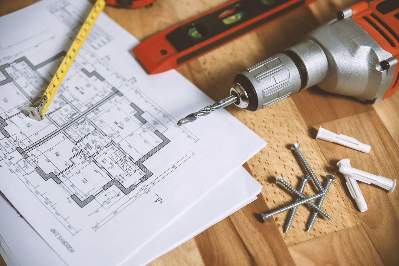
A boundary survey is the only document that establishes the legal property line with the precision needed for setback and construction decisions.
Why the Obvious Sources Aren't Reliable
Fences and Hedges
A fence marks where someone, at some point, decided to put a fence. It does not necessarily mark the legal boundary. Fences get built based on old assumptions, informal agreements between long-ago neighbors, or simple convenience, and many fences sit measurably off the true property line, sometimes for decades, without anyone noticing until a survey or a dispute reveals the difference.
Tax Assessor Maps
County tax maps are built for assessment purposes, valuing property for tax billing, not for precise legal boundary determination. They are frequently generalized, sometimes based on older surveys or approximate parcel data, and are not considered an authoritative source for anything requiring precision, such as confirming setback compliance.
The Deed Description
A deed contains a legal description of the property, but that description is a written definition, sometimes based on distances and bearings from a reference point, sometimes based on lot numbers in a recorded subdivision plat. Reading a legal description does not, by itself, tell you precisely where those lines fall on the physical ground today. Translating that written description into actual, measurable, staked boundaries is exactly what a survey does.
KEY POINT
None of these common reference points, a fence, a tax map, or the deed's written description on its own, are a substitute for a survey when precision actually matters. Each can be off by a meaningful margin, and construction decisions based on any of them carry real risk.
When You Genuinely Need a Boundary Survey
A survey isn't necessary for every situation, but several circumstances make one essential rather than optional:
Building anything near a property line, particularly when the planned structure is close enough that a small measurement error could create a setback violation or encroach onto a neighboring lot
Buying vacant land, especially where the boundaries have never been physically staked or where existing fences or markers appear inconsistent with the deed
Resolving or preventing a boundary dispute, since a professional survey is typically the evidence that actually settles a disagreement between neighbors
Subdividing a parcel or combining lots, which requires precisely establishing the new boundary lines being created
Removing a fence or building a new one, particularly a shared fence where the exact line determines cost-sharing and placement
Financing or refinancing certain properties, since some lenders require a current survey, particularly for construction loans or properties without a recent survey on file
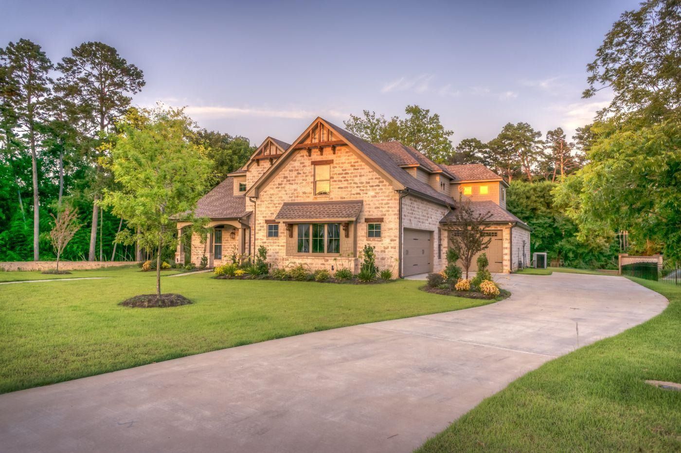
Building an addition or new structure near a property line is one of the clearest situations calling for a current boundary survey rather than relying on an existing fence line.
Types of Surveys
Boundary Survey
Establishes the property lines themselves, typically marking corners with survey stakes or monuments and producing a plat showing the measured boundaries, their bearings and distances, and how they relate to the recorded legal description.
Mortgage or Location Survey
A more limited, often lower-cost survey commonly required by a lender at closing, showing the general location of major improvements relative to the boundaries. It is typically not precise enough to rely on for a setback determination or a construction decision, since it prioritizes speed over survey-grade precision.
ALTA/NSPS Survey
A more comprehensive, standardized survey often required for commercial transactions, meeting specific national standards and typically including additional detail such as easements, encroachments, zoning setback lines, and flood zone information layered onto the boundary survey itself.
Topographic Survey
Focuses on elevation and terrain features rather than boundaries specifically, though it is frequently commissioned alongside a boundary survey for construction projects that need both pieces of information.
Not interchangeable
a mortgage survey and a full boundary survey serve different purposes, and relying on a mortgage survey for a construction decision is a common and costly mistake
What Happens Without One
Building without confirming the true boundary carries a specific, concrete risk: discovering after construction that a structure encroaches on a neighboring property, violates a setback measured from an assumed rather than surveyed line, or sits on land the property doesn't actually own.
An encroachment discovered after construction is a substantially harder problem to resolve than one caught beforehand. Depending on the circumstances, resolution can require a boundary line agreement with the neighbor, an easement negotiated after the fact, or in the more difficult cases, removal or modification of the structure itself.
WATCH OUT
A structure built even a foot or two over a property line, confirmed only after the fact by a survey, can require costly renegotiation with a neighbor, a legal boundary agreement, or removal, depending on how the affected neighbor responds. The cost of resolving an after-the-fact encroachment is typically far higher than the cost of a survey that would have caught it beforehand.
What to Check Before Building Near a Property Line
Confirm whether a current boundary survey already exists for the property, and if so, how recent it is and whether corners are still physically marked
If no current survey exists, or if existing markers seem inconsistent with the deed, commission a new boundary survey before finalizing plans for anything near a property line
Confirm the exact setback requirements for the parcel so the survey can be used to verify the planned structure clears the required distance with margin, not just barely
For a purchase involving vacant land or unclear boundaries, consider a survey as part of due diligence before closing, not after
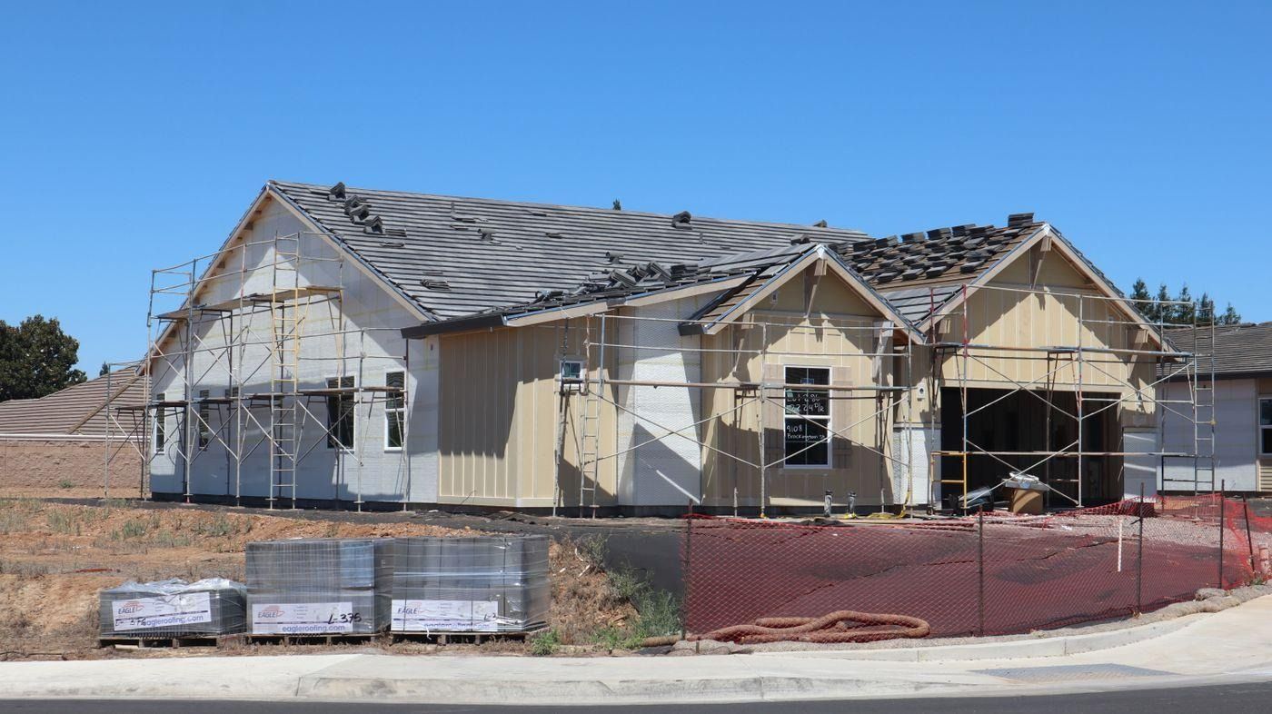
Confirming the surveyed boundary before construction begins avoids the far more expensive problem of resolving an encroachment discovered afterward.
How Civil Intelligence Fits Into This Picture
A boundary survey requires an on-site licensed surveyor and cannot be replaced by remote data, since it involves physically locating and measuring the actual property corners. What a feasibility check can do is establish the setback requirements the surveyed boundary will need to satisfy, so you know exactly what distance you're confirming before commissioning the survey.
Civil Intelligence returns zoning classification and setback requirements for any parcel address, giving a clear target for what the surveyed line needs to clear, before you invest in a boundary survey and finalize a construction plan around it.
Know the setback target before you survey the line.
Civil Intelligence returns zoning classification and setback requirements for any parcel address, giving you the numbers a boundary survey needs to satisfy before you finalize construction plans.
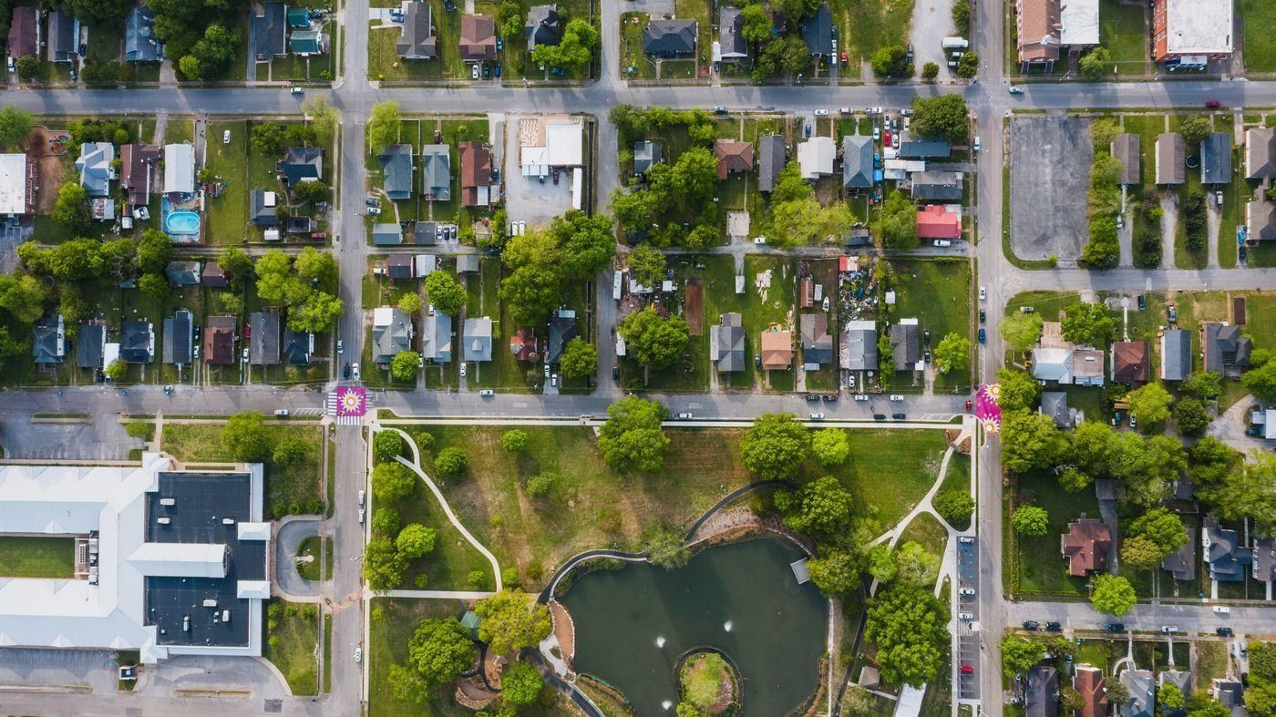
In established neighborhoods with older fences and informal boundary markers, a current survey is often the only way to confirm the true property line.
Frequently Asked Questions
What is a boundary survey?
A boundary survey is a precise measurement of a property's legal boundaries performed by a licensed land surveyor, establishing exactly where the property lines sit on the ground. It is the reliable way to confirm true boundaries, since fences, tax maps, and deed descriptions alone are not precise enough for decisions like setback compliance or construction planning.
Can I just use my fence line as the property boundary?
Not reliably. A fence marks where someone at some point decided to place a fence, often based on old assumptions or informal agreements, not necessarily the legal boundary. Fences are frequently off the true property line, sometimes significantly, and relying on one for a construction decision carries real encroachment risk.
What is the difference between a boundary survey and a mortgage survey?
A mortgage or location survey is a more limited, often lower-cost survey commonly required by a lender at closing, showing the general location of improvements relative to the boundaries. A full boundary survey is more precise, marking actual corners with stakes or monuments. A mortgage survey is generally not precise enough to rely on for setback or construction decisions.
Do I need a boundary survey before building an addition?
If the addition will be located near a property line, yes, strongly recommended. A small measurement error based on an assumed rather than surveyed boundary can result in a setback violation or an encroachment onto a neighboring property, both of which are considerably more expensive to resolve after construction than a survey would have cost beforehand.
What happens if I build over the property line by mistake?
Resolution options depend on the specific situation and the neighbor's response, and can include a negotiated boundary line agreement, an easement arranged after the fact, or in more difficult cases, modification or removal of the encroaching structure. All of these are typically more costly and complicated than confirming the boundary with a survey before construction.
How much does a boundary survey cost?
Costs vary based on property size, terrain, how recently the area was previously surveyed, and regional pricing, but boundary surveys for a typical residential lot commonly range from several hundred to a couple thousand dollars. Larger, more complex, or previously unsurveyed rural parcels can cost more.