INSIGHT
Wetlands are one of the few property constraints that operate almost entirely outside the zoning system. A parcel can have ideal zoning, adequate lot size, good frontage, and a clean title, and still be substantially unbuildable because a portion of it meets the regulatory definition of a wetland.
What makes this particularly difficult for buyers is that regulated wetlands frequently do not look like what people picture. A wetland does not need standing water. It does not need to be wet year-round. Land that appears to be an ordinary field or a patch of woods can qualify, and the only reliable way to know is a professional delineation.
This guide explains what a delineation actually involves, the three criteria used to identify a wetland, why the maps you can find online are not sufficient, what permitting looks like if wetlands are present, and how to evaluate wetland risk before you buy.
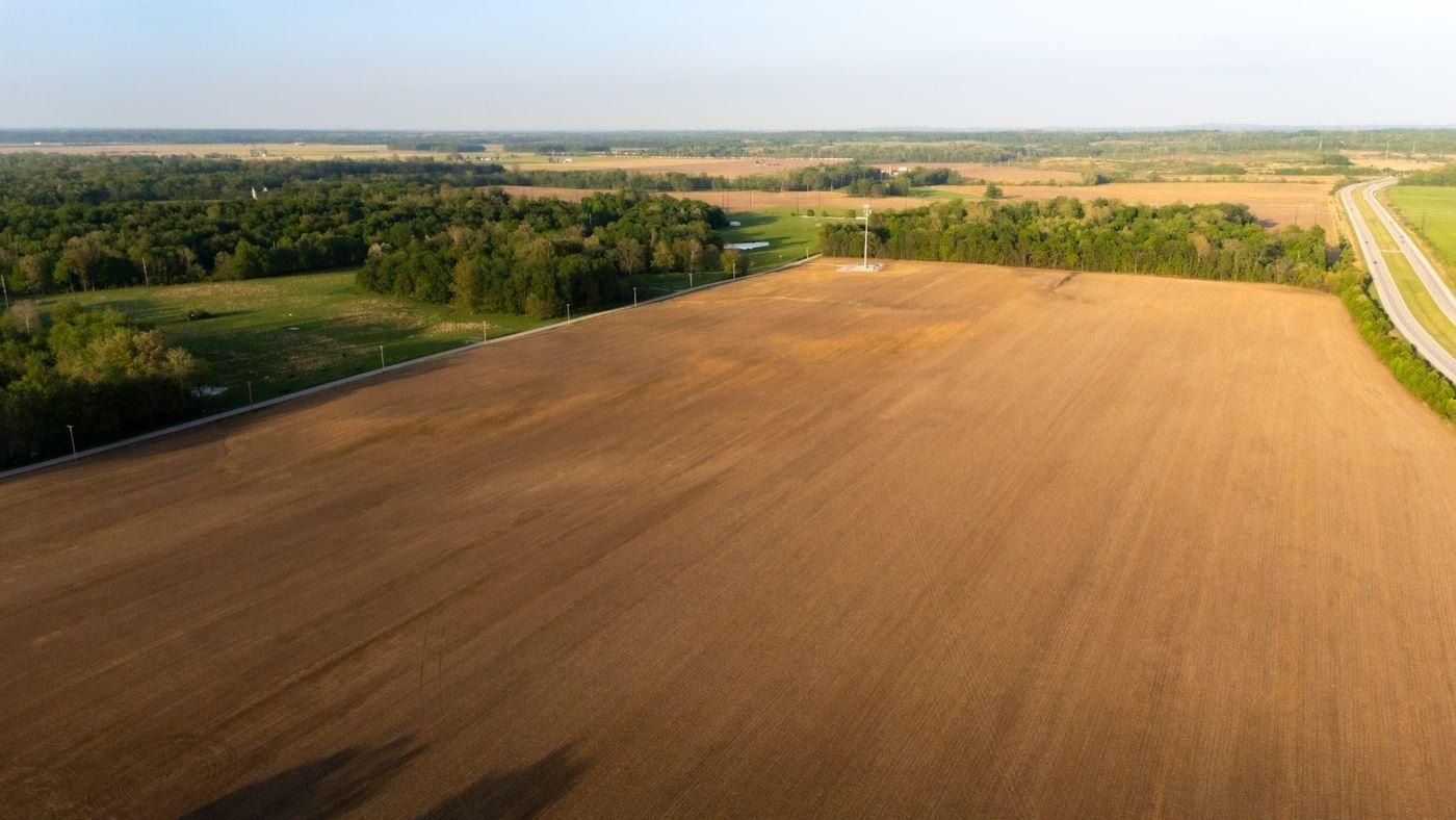
Regulated wetlands frequently do not look like standing water, and can include land that appears to be ordinary field or woodland.
The Three Criteria
A delineation evaluates three parameters, and under standard federal methodology an area generally must exhibit all three to be classified as a wetland:
Hydrophytic Vegetation
Plants adapted to growing in saturated soil conditions. Consultants identify the dominant plant species present and evaluate them against published indicator lists that classify species by how strongly they are associated with wetland conditions.
Hydric Soils
Soils that formed under saturated, oxygen-poor conditions, which produces identifiable characteristics such as distinctive coloration and mottling. This is assessed by digging soil pits and examining the profile, which is why a delineation requires physical site work rather than remote analysis.
Wetland Hydrology
Evidence that the area is inundated or saturated long enough during the growing season to support wetland conditions. Critically, this does not require water to be visible at the time of inspection. Consultants look for indirect indicators including water marks, drift deposits, sediment patterns, and drainage patterns.
KEY POINT
The absence of visible water means almost nothing. Wetland hydrology is frequently seasonal, and a site inspected in late summer can be completely dry while still meeting the regulatory criteria. Buyers who walk a property in dry conditions and conclude there are no wetlands are relying on the least reliable of the three indicators.
Why Online Maps Are Not Enough
The National Wetlands Inventory, maintained by the U.S. Fish and Wildlife Service, provides mapped wetland data that is publicly available and useful as a preliminary screen. It is not a substitute for a delineation, and it is not the basis for a regulatory determination.
These maps were largely produced through aerial photograph interpretation, at a scale intended for regional planning rather than parcel-level accuracy. They routinely miss smaller wetlands, particularly forested wetlands that are difficult to identify from above, and they can also show wetlands in areas that a field delineation would not confirm.
Screen, not answer
mapped wetland inventories are a useful first look, but only a field delineation establishes the actual regulated boundary on a specific parcel
What Happens If Wetlands Are Present
Avoidance Is the First Option
If a delineation identifies wetlands, the most straightforward path is usually designing around them, siting the structure, driveway, and septic system entirely outside the delineated boundary and any required buffer. Where the wetland occupies a portion of a large parcel, this is often workable without any permit at all.
Permitting for Unavoidable Impacts
Where the project cannot avoid disturbing the wetland, filling or dredging generally requires a Section 404 permit from the U.S. Army Corps of Engineers under the Clean Water Act. Many states impose an additional, sometimes stricter, permitting requirement of their own.
Smaller impacts may qualify under a nationwide permit, a streamlined authorization covering categories of minor activity, while larger impacts require an individual permit involving a substantially longer review, public notice, and considerably more documentation.
Mitigation
Permits authorizing wetland impacts commonly require compensatory mitigation, meaning the applicant must offset the loss by restoring, creating, or preserving wetlands elsewhere, frequently by purchasing credits from a wetland mitigation bank. This is a real and sometimes substantial cost that needs to be in the project budget from the start.
WATCH OUT
Disturbing a regulated wetland without a permit can result in enforcement action, civil penalties, and an order to restore the site to its prior condition at the owner's expense. This applies regardless of whether the owner knew the wetland was there, which is precisely why a delineation before purchase or construction matters.
How the Delineation Process Works
Engage a qualified wetland consultant or environmental scientist, typically after a preliminary screen using mapped inventory data and soil survey information suggests wetlands may be present
The consultant conducts field work, establishing sample points across the site and evaluating vegetation, soils, and hydrology at each one
Wetland boundaries are flagged in the field and then surveyed, producing a map showing the delineated line relative to the property boundaries
The consultant prepares a delineation report documenting the methodology, data forms for each sample point, and the resulting boundary
For regulatory certainty, the delineation can be submitted to the Army Corps for an approved jurisdictional determination, which confirms the agency agrees with the boundary and which federal jurisdiction applies
Timing matters. Delineations are generally performed during the growing season, when vegetation can be properly identified, which means a site purchased in winter may not be able to have a delineation completed until the following spring.
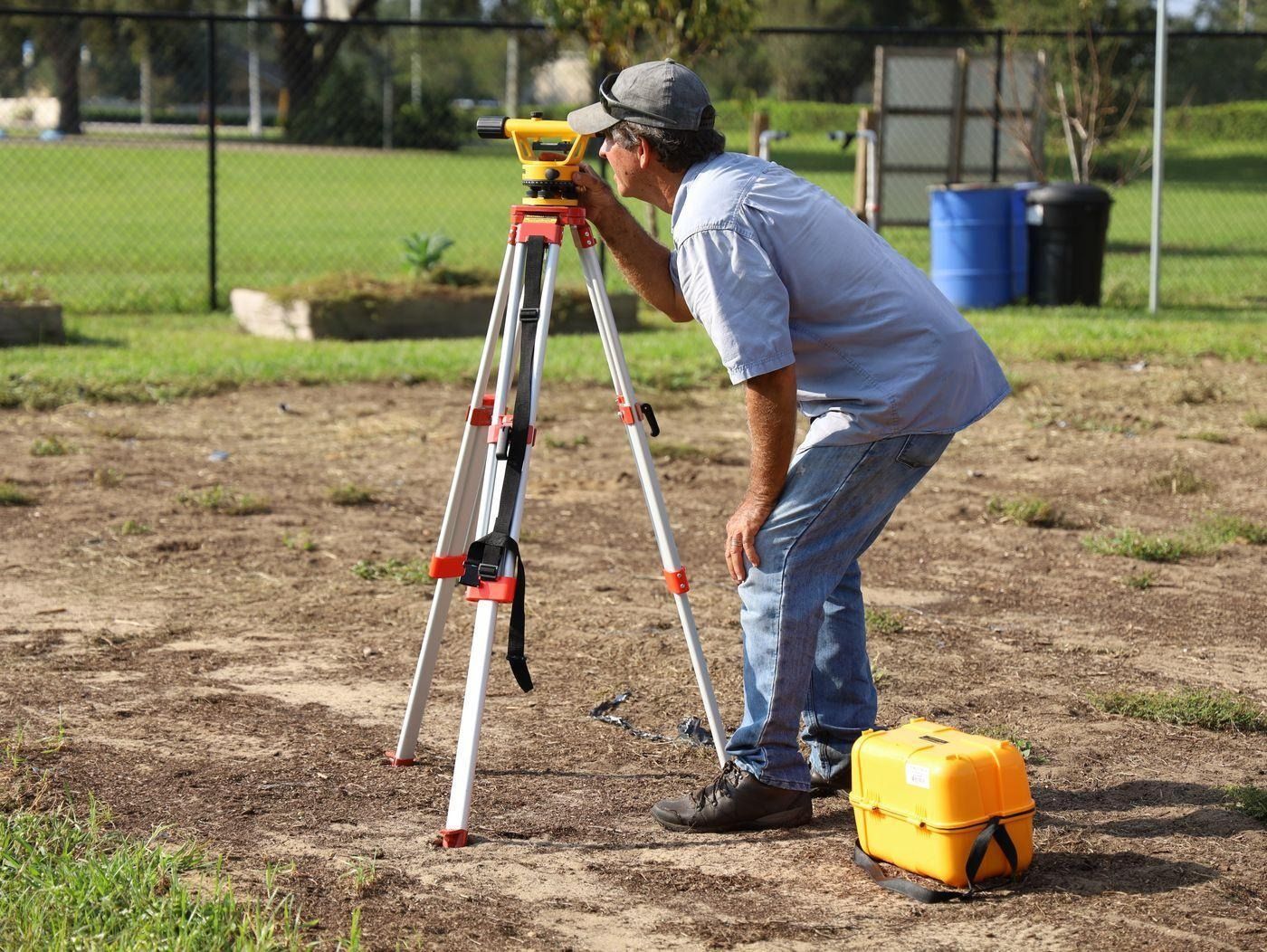
A delineation requires field work, including soil pits and vegetation sampling at points across the site, before boundaries are flagged and surveyed.
What to Check Before You Buy
Review the National Wetlands Inventory and the county soil survey as a preliminary screen, understanding both are indicative rather than definitive
Look for topographic low points, drainage patterns, and vegetation changes on aerial imagery, which can suggest wetland conditions
Ask the seller directly whether a delineation has ever been performed, and if so, request the report and check its date
For any parcel where wetlands are plausible and the purchase depends on developability, make the offer contingent on a satisfactory delineation, the same way a perc test contingency works
Confirm whether state or local wetland regulations apply, since these are frequently stricter than the federal standard and may regulate areas the federal program does not
How Civil Intelligence Fits Into the Picture
A wetland delineation requires a qualified consultant conducting field work and cannot be replaced by remote data. What a feasibility check establishes first is the zoning and buildable area picture, which determines how much flexibility exists to site a structure away from a potential wetland area if one is present.
Civil Intelligence returns zoning classification, setback requirements, and buildable area for any parcel address, showing how much usable envelope the parcel has before you assess how a wetland boundary might constrain it further.
Know your buildable envelope before a wetland boundary narrows it.
Civil Intelligence returns zoning classification, setback requirements, and buildable area for any parcel address. The free plan includes 3 site analyses with no credit card required.
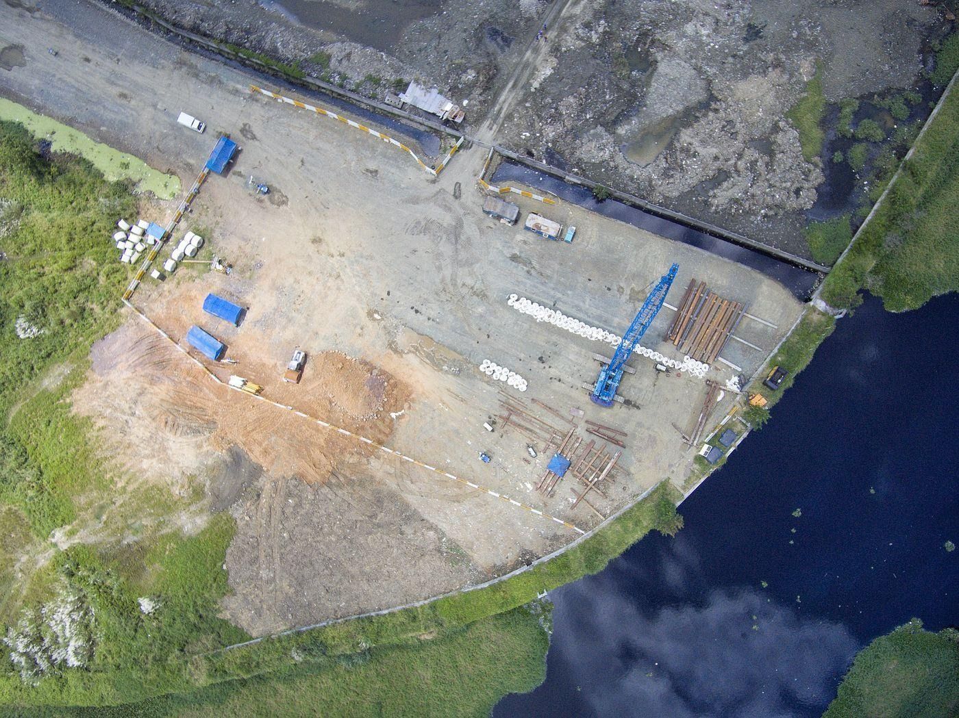
Construction near water features frequently triggers wetland review, and unpermitted disturbance can result in enforcement and restoration orders.
Frequently Asked Questions
What is a wetland delineation?
A wetland delineation is a field study by a qualified consultant that identifies and maps the precise boundaries of wetlands on a property, based on three criteria evaluated together: hydrophytic vegetation, hydric soils, and wetland hydrology. It requires physical site work, including soil pits and vegetation sampling, and cannot be performed remotely.
Can land be a wetland if there's no standing water?
Yes, and this is one of the most common misconceptions. Wetland hydrology is frequently seasonal, and a site can be completely dry at the time of inspection while still meeting the regulatory criteria. Consultants look for indirect indicators such as water marks, drift deposits, and sediment patterns, alongside soil characteristics and vegetation.
Are online wetland maps reliable?
They are useful as a preliminary screen but are not definitive. The National Wetlands Inventory was largely produced through aerial photo interpretation at a regional scale, and routinely misses smaller or forested wetlands while sometimes showing wetlands a field delineation would not confirm. Only a delineation establishes the actual regulated boundary.
What happens if my property has wetlands?
The most common approach is designing around them, siting the structure, driveway, and septic system outside the delineated boundary and any buffer, which often requires no permit. Where impacts are unavoidable, filling or dredging generally requires a Section 404 permit from the Army Corps of Engineers, often an additional state permit, and frequently compensatory mitigation.
What happens if you fill a wetland without a permit?
Unpermitted disturbance can result in enforcement action, civil penalties, and an order to restore the site at the owner's expense. This applies regardless of whether the owner was aware the wetland existed, which is why confirming wetland status before purchase or construction is important.
When can a wetland delineation be performed?
Delineations are generally conducted during the growing season, when vegetation can be properly identified and evaluated against indicator lists. A property purchased outside the growing season may not be able to have a delineation completed until the following season, which is worth factoring into a project timeline.