INSIGHT
Most people researching a property check the base zoning designation and stop there, which is a reasonable place to start but an incomplete picture. Overlay districts are a second, independent layer of regulation that many jurisdictions use specifically to address concerns the base zoning code wasn't designed to handle: flood risk, historic character, environmental sensitivity, or corridor-specific design standards.
A parcel's base zoning tells you the general category of what's permitted. An overlay tells you what additional conditions apply specifically because of where that parcel sits, on a floodplain, in a historic district, along a specific corridor, or within some other defined boundary the base zoning code doesn't account for.
This guide explains how overlay districts work, the common types you're likely to encounter, how they interact with base zoning, and how to check whether a specific parcel sits within one before you buy or build.

Overlay districts often follow boundaries that have nothing to do with base zoning, such as a flood plain, a historic district edge, or a corridor along a specific road.
How Overlay Districts Work
A Second, Independent Layer
The defining feature of an overlay district is that it does not replace the base zoning. It adds to it. A property retains its underlying zoning designation, R-1, R-2, commercial, whatever it may be, and the overlay imposes additional rules on top, which can restrict what the base zoning would otherwise allow, but generally cannot grant permission for something the base zoning prohibits.
This is structurally similar to how a deed restriction relates to zoning, except an overlay is public law, created and enforced by the local government, rather than a private agreement between property owners. Both add restrictions on top of base zoning. An overlay does it through the public zoning process; a deed restriction does it through private recorded covenants.
KEY POINT
An overlay district and the base zoning apply simultaneously and independently. Checking base zoning alone, even thoroughly, will not reveal overlay requirements, since they are typically mapped and administered as an entirely separate layer in the zoning code.
Common Types of Overlay Districts
Flood Overlay Districts
Applied to parcels within or near FEMA-designated flood zones, flood overlays commonly impose elevation requirements for new construction, restrictions on fill and grading, and specific construction standards for the lowest floor of a structure. These requirements exist independently of, and in addition to, whatever the base zoning otherwise permits.
Historic Overlay Districts
Applied to areas with recognized historic or architectural significance, historic overlays commonly require design review before exterior changes, demolition, or new construction, often governing materials, window styles, roofing, and other visible elements, regardless of what the base zoning would otherwise allow without restriction.
Corridor and Highway Overlays
Applied along specific roads or commercial corridors, these overlays commonly regulate signage, building setback from the road, architectural consistency, and sometimes landscaping or lighting standards, intended to create a cohesive look along a specific stretch regardless of the underlying zoning of individual parcels.
Environmental and Conservation Overlays
Applied to parcels near wetlands, steep slopes, water bodies, or other environmentally sensitive features, these overlays commonly restrict grading, tree removal, impervious surface coverage, or construction within a defined buffer distance from the sensitive feature.
Airport and Noise Overlays
Applied near airports, these overlays commonly restrict building height (for flight path clearance) and sometimes require sound insulation standards for new residential construction, addressing safety and noise concerns the base zoning wouldn't otherwise account for.
Independent layers
base zoning and any applicable overlay districts are checked and applied separately, and satisfying one does not confirm compliance with the other
How Overlays Interact With Base Zoning
The Stricter Rule Generally Applies
When base zoning and an overlay district conflict, the general principle is similar to the rule governing deed restrictions: the more restrictive requirement applies. If base zoning permits a 35-foot building height but an airport overlay caps height at 28 feet in that specific location, the 28-foot limit controls. The overlay can restrict further than base zoning allows, but it generally cannot permit something the base zoning otherwise prohibits.
Overlays Can Trigger Additional Approval Processes
Beyond adding dimensional or design requirements, many overlays require an entirely separate review process before certain work can proceed, such as historic design review board approval, floodplain development permits, or corridor design committee sign-off, adding a procedural step that has nothing to do with the standard permit process for the base zoning.
WATCH OUT
A project can be fully compliant with base zoning and still require a completely separate overlay approval process before a permit will be issued. Confirming overlay status early avoids discovering an unexpected review board or additional permit requirement partway through a project timeline.
How to Check Whether a Parcel Sits in an Overlay District
Overlay boundaries are typically shown on a separate zoning map layer from the base zoning map, meaning a jurisdiction's standard zoning map may not display overlay boundaries at all unless specifically requested or cross-referenced.
Ask the local planning department directly whether the parcel sits within any overlay district, rather than relying on the base zoning map alone
Request the specific overlay ordinance text if one applies, since the requirements are usually detailed in a separate section of the zoning code from the base district standards
Confirm whether the overlay requires a separate approval process, and build that timeline into any project planning from the start
For flood overlays specifically, cross-reference the parcel against the current FEMA flood map, since flood overlay boundaries are typically tied to and updated alongside FEMA flood zone designations

Overlay district requirements are typically detailed in a separate section of the zoning code, distinct from the base district's dimensional standards.
How Civil Intelligence Fits Into This Picture
Understanding a parcel's base zoning classification and flood zone status, two pieces of information that speak directly to two of the most common overlay categories, is a useful starting point before confirming whether other overlay types, historic, corridor, environmental, apply to a specific address.
Civil Intelligence returns zoning classification, setback requirements, and FEMA flood zone designation for any parcel address, covering the base zoning picture and the flood overlay question directly. Other overlay types typically still require a direct check with the local planning department, since they are jurisdiction-specific and not always tied to a national dataset the way flood zones are.
Start with the base zoning and flood picture, then confirm any other overlays.
Civil Intelligence returns zoning classification, setback requirements, and flood zone designation for any parcel address, covering two of the most common overlay categories directly.
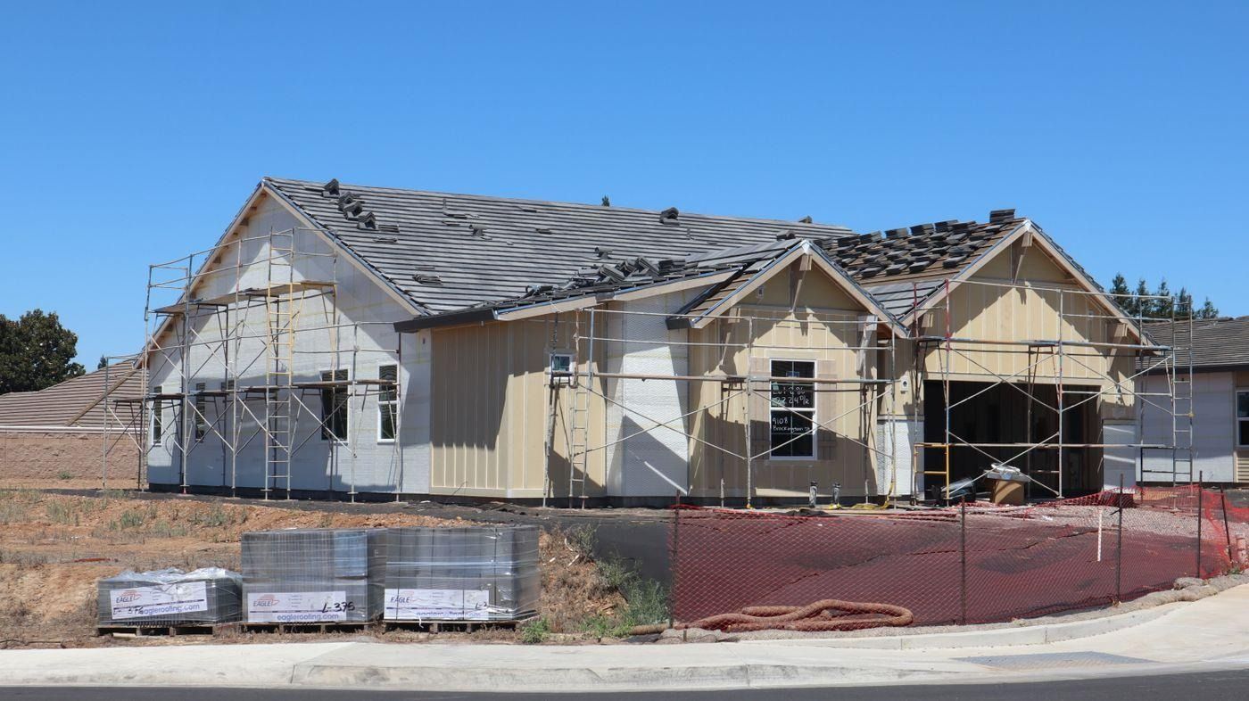
Confirming overlay requirements before starting a project avoids discovering an unexpected design review process or additional permit requirement mid-project.
Frequently Asked Questions
What is a zoning overlay district?
A zoning overlay district is an additional layer of regulation applied on top of a property's base zoning within a specific geographic area, such as a floodplain, historic district, or road corridor. It adds requirements or restrictions without replacing the underlying zoning designation, and both the base zoning and the overlay apply simultaneously.
Does an overlay district replace the base zoning?
No. An overlay adds requirements on top of the base zoning rather than replacing it. The property retains its underlying zoning designation, and the overlay imposes additional rules specific to why that geographic area was designated, such as flood risk or historic significance. The overlay can be more restrictive than base zoning but generally cannot permit something base zoning prohibits.
What are common types of overlay districts?
Common types include flood overlays (elevation and construction requirements near flood zones), historic overlays (design review for exterior changes in historic areas), corridor or highway overlays (signage and setback standards along specific roads), environmental or conservation overlays (restrictions near wetlands or sensitive features), and airport overlays (height limits and noise standards near airports).
How do I know if my property is in an overlay district?
Overlay boundaries are typically shown on a separate map layer from the base zoning map, so checking base zoning alone may not reveal an overlay. Ask the local planning department directly whether the specific parcel sits within any overlay district, and request the specific overlay ordinance text if one applies.
Can an overlay district require a separate approval process?
Yes. Many overlays, particularly historic and floodplain overlays, require a separate review process, such as a historic design review board or a floodplain development permit, in addition to the standard permit process for the base zoning. A project can fully comply with base zoning and still need separate overlay approval before a permit is issued.
Which rule applies if the base zoning and an overlay conflict?
Generally, the more restrictive rule controls. If base zoning permits something an overlay restricts further, such as a lower height limit near an airport, the overlay's stricter limit applies. An overlay can add restrictions beyond base zoning but generally cannot grant permission for something the base zoning otherwise prohibits.